
Tag Specifications
Example Configurations
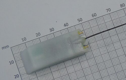
7.9g Mini GPS + depth + UHF download
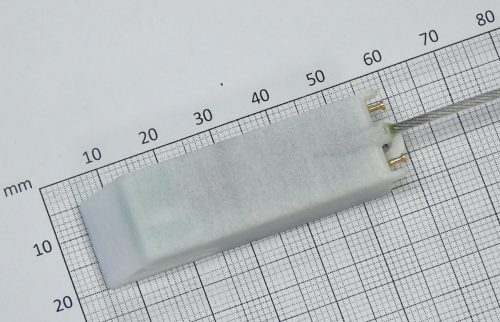
10.2g GPS + depth + UHF download
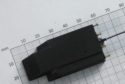
13.5g GPS + depth + UHF download
Alternate
 |
|
| Weight | 7.9g |
| Dimensions | 45x16x10mm plus ~50mm external whip antenna Length includes 4mm depth sensor |
| Battery-only Capacity | ~5000 GPS location attempts including regular UHF download attempts, but with no depth data. See Table D for illustrations of the impact depth data transmission would have on the battery capacity of this tag |
| Onboard storage | 40000 GPS location attempts Remaining memory reserved for depth data |
| Immersion Sensor | Onboard sensor used to avoid wasted power when bird is submerged |
| UHF Download Range | Up to 2km in ideal conditions, 100-200m in typical conditions |
| Depth Sensor | Depth and temperature sensor rated to 290m Configurable sample rate and depth threshold |
| Programming Interface | Wireless configuration via base station |
| Waterproofing | Depth proof to 100m |
| Packaging | Duraform housing and epoxy |
| Attachment Method | Tape or glue |
Deployments
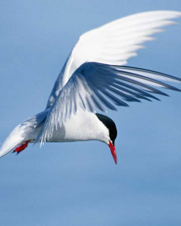
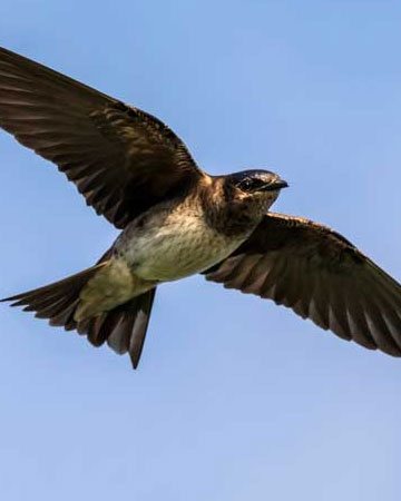
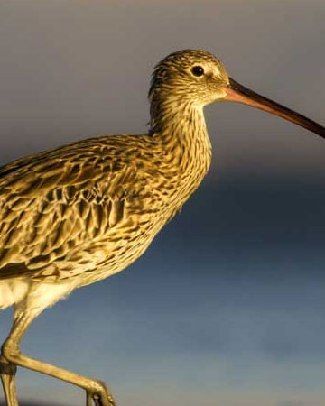
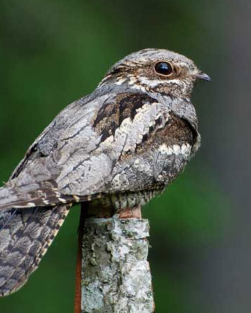
Search by species
Pathtrack tags have been deployed on a wide variety of species around the world. Browse our different categories to see if you can find the species that you are looking to study.